AERIAL IMAGES FROM VEXCEL DATA PROGRAM

AERIMAP IS VDP RESELLER
We are authorised resseler of aerial data products offered by VDP. Vexcel publishes roughly 150,000 images daily to its library, more than any other aerial collection program and at a finer resolution than satellite imagery.
From Oblique to TrueOrtho, DSM to Multispectral, check out full suite of products—all processed and ready for you to start using today. You can find detailed offer and comprehensive overview of offered products at following website.
https://vexceldata.com/
OBLIQUE IMAGERY
Urban areas captured with UltraCam Osprey 4.1. Get a multi-perspective view of a location at 7.5cm resolution.

TRUEORTHO IMAGERY
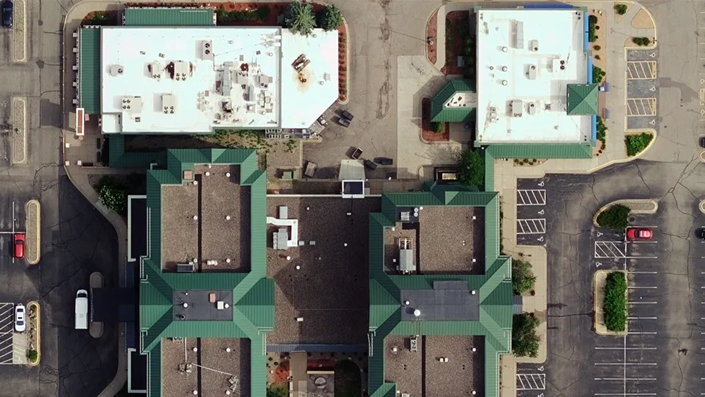
Get access to clear, vertical imagery available in stunning 7.5cm resolution across major metro areas around the globe. Scan roofs, see city streets, and identify property attributes with this rich, cloud-based aerial content.
WIDE AREA ORTHO IMAGERY
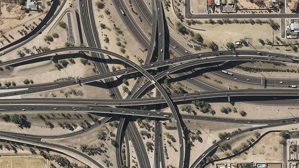
Use 15-20cm resolution Ortho imagery from more than 20 countries around the globe. Improve your understanding of a particular property and share insights across your team.
MULTISPECTRAL IMAGERY
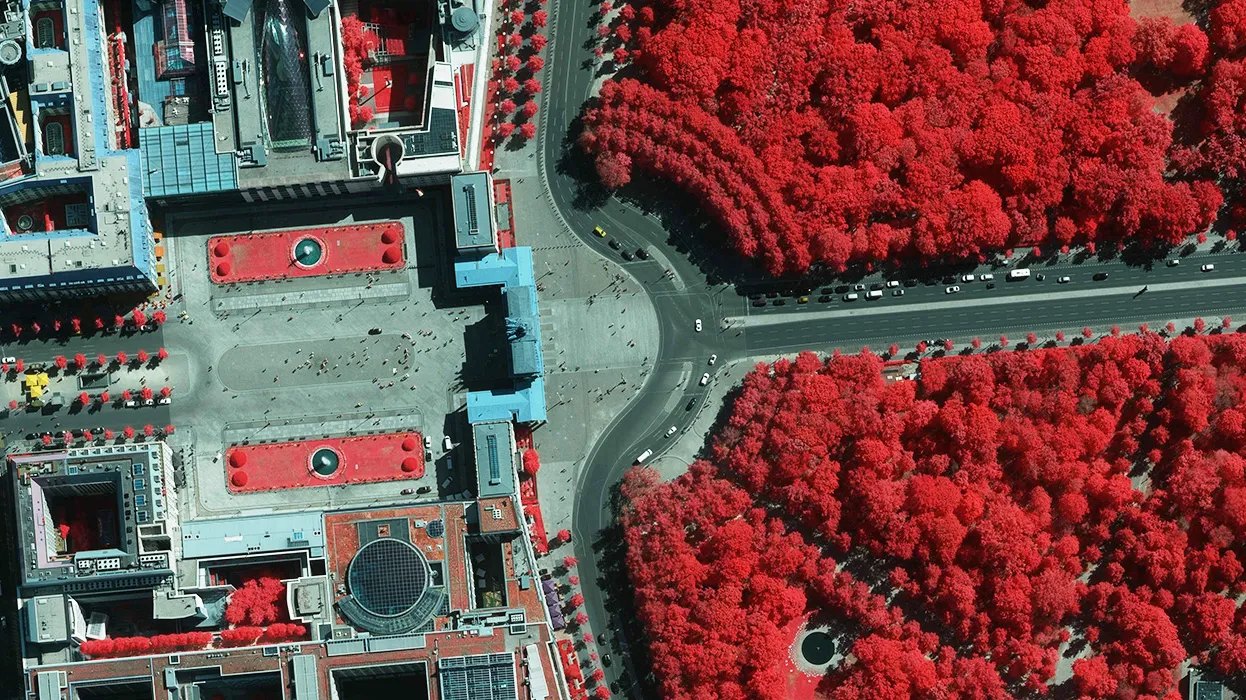
Get access to 7,5-20cm resolution Infra-Red imagery from more than 40 countries around the globe. Near-infrared (NIR) is 4 band imagery, collected from several parts of the electromagnetic spectrum. With this type of data, users can extract information around a location’s vegetation and impervious surfaces. Identify plant health, soil moisture, water clarity, and wetland mapping. This data is extremely useful for monitoring environmental changes and can assist in land management and urban development.
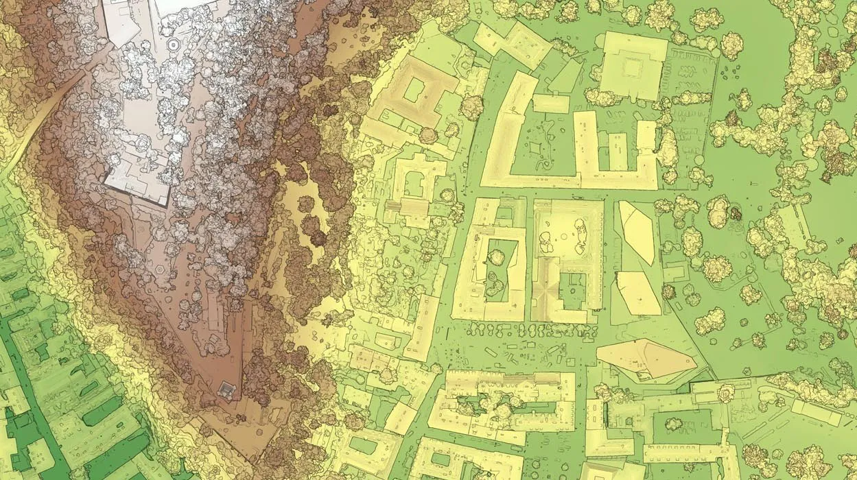
DSM & DTM
Elevate your data with DSM & DTM. Get a clearer understanding
of the earth’s surface and human-made objects with Vexcel Elevate, including Digital Surface Model (DSM) and Digital Terrain Model (DTM) data.
