AERIAL PHOTOGRAPHY AND SCANNING

NADIR IMAGING
We mostly use UltraCam Eagle M3 large-format cameras for nadir imaging. Depending on the nature and scope of the project, we are also able to provide imaging using PHASE ONE medium format cameras. We are able to capture imagery at 2 - 20 cm GSD resolution.
Outputs – Orthophotomap / TRUE orthophotomap / Stereo evaluation / DSM/Digital surface model / DTM/Digital terrain model / Point cloud / Textured mesh / 3D building models
OBLIQUE IMAGING
Simultaneous vertical and oblique imaging is done with the UltraCam Osprey 4.1 camera. Depending on the project requirements, the camera can be set to three different imaging modes:
1. nadir, backward, forward, left and right images
2. nadir, backward, forward images
3. nadir images only

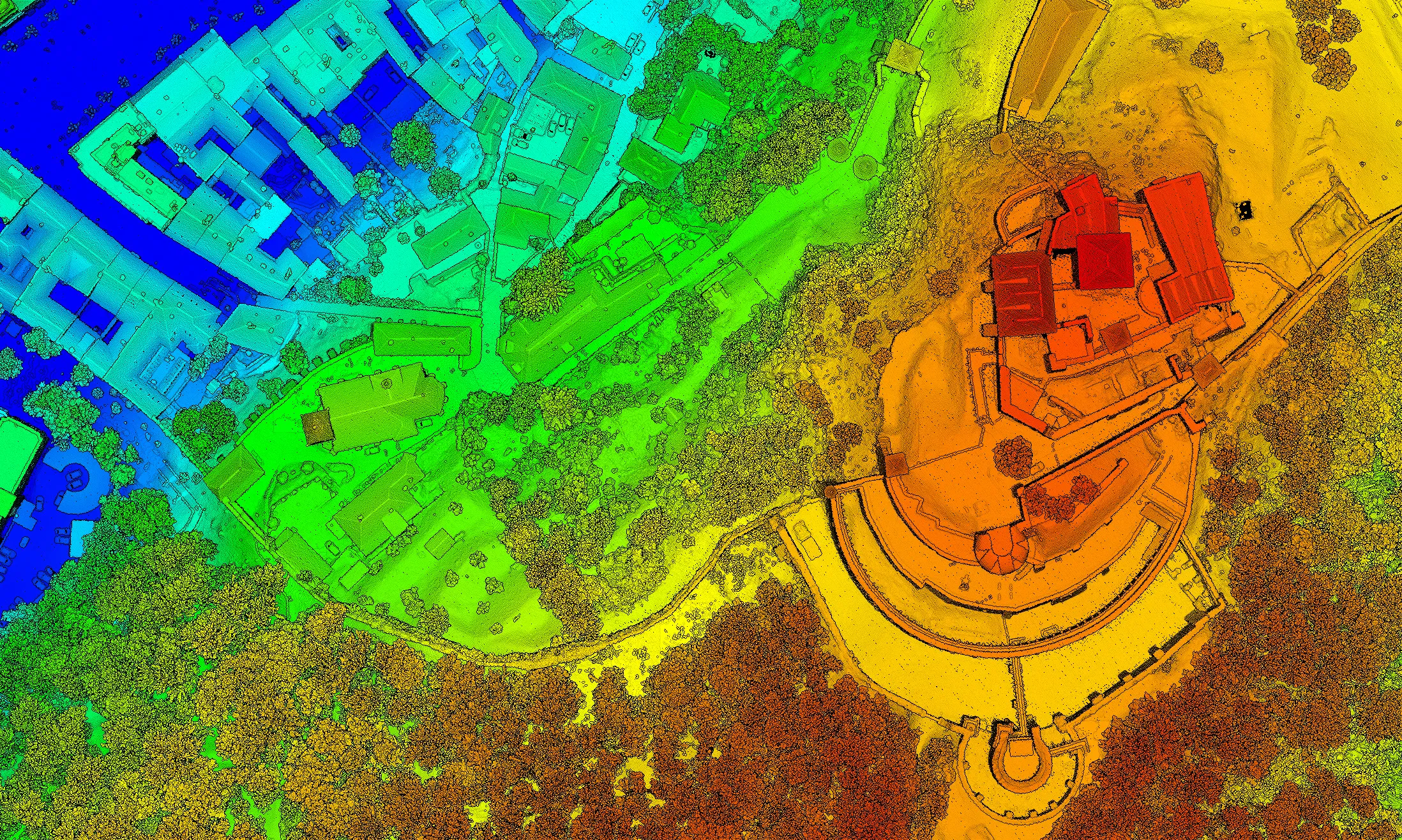
LIDAR DATA ACQUISITION
We primarily use Riegl sensors for lidar scanning. Specifically the VQ480 II, VQ780 II and VQ1560 IIS models. If the customer does not require to capture images during scanning, we are able to fly in low light conditions or at night.
Outputs – Laser point cloud / DSM/Digital surface model / DTM/Digital terrain model / 3D building models
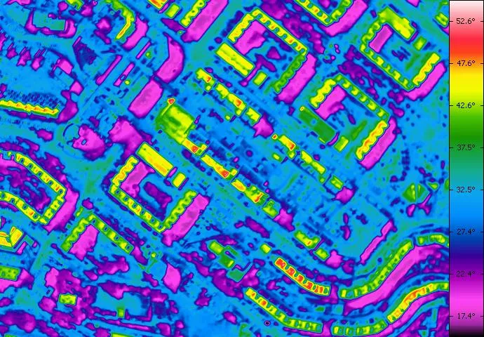
THERMAL IMAGING
Although we do not currently have the most modern technology for thermal imaging, we are able to offer aerial imaging with the DigiTHERM 640 camera for smaller projects.
Outputs – Thermal orthophotomap